
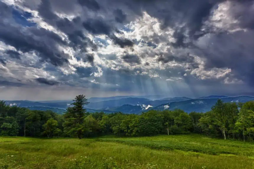

RICHMOND, Virginia – Saturday is shaping up to be a bright and pleasant day across Central Virginia, with sunny skies, low humidity, and temperatures climbing to around 90°F (32°C). If you’re planning to spend time outdoors, especially after the Fourth of July celebrations, this will likely be the best day of the weekend to do so.
Sunday, however, will bring a notable shift in the weather. The day will begin with sunshine, but clouds will increase gradually during the afternoon. Conditions will become muggy, with highs reaching the upper 80s to low 90s (31–33°C).
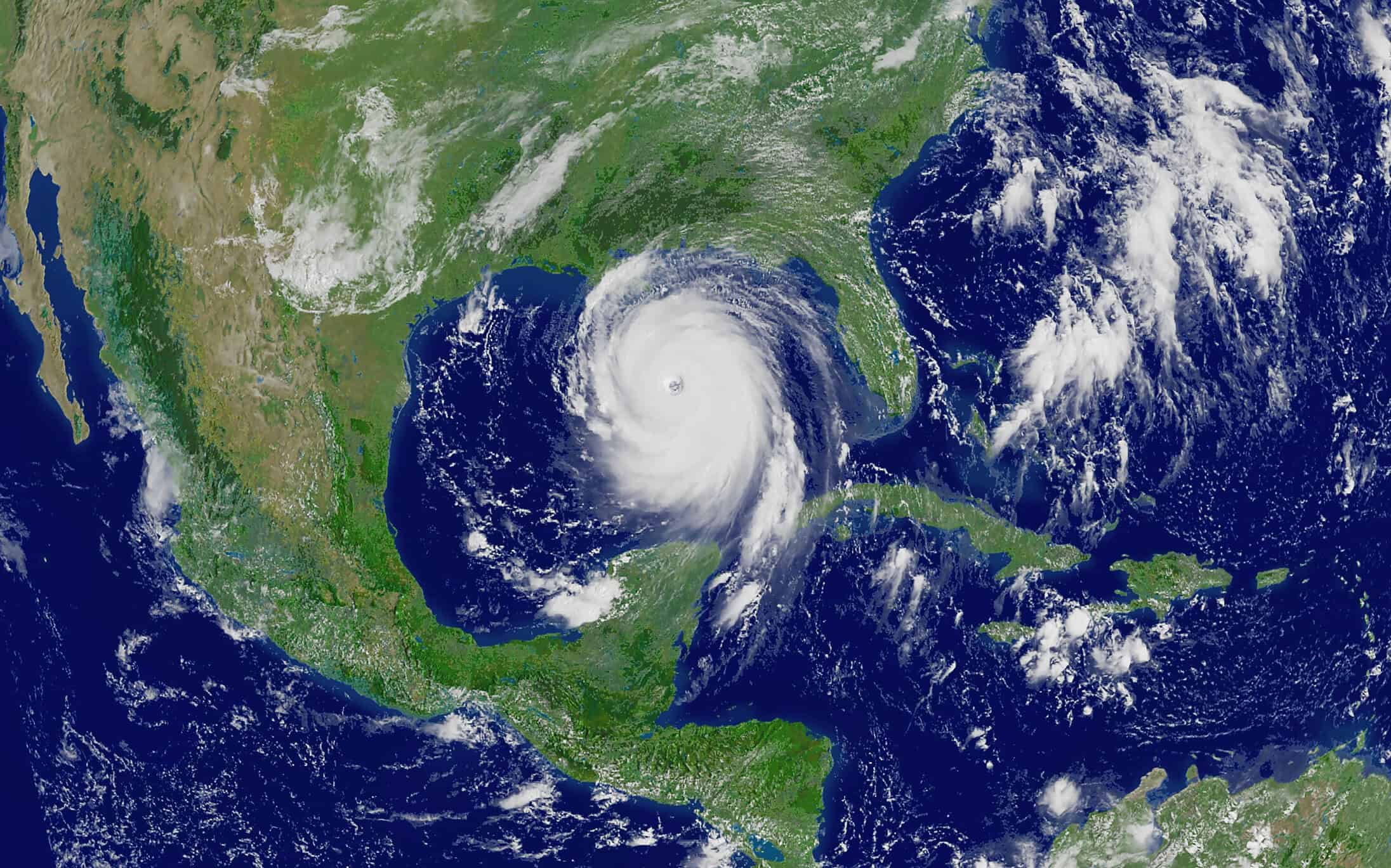
A tropical system – currently identified as Tropical Depression Three, located off the Florida–Georgia coast – is forecast to move northward, bringing scattered showers into Virginia by late Sunday. These rain bands will start pushing in from the south and will be linked to the outer circulation of this developing tropical system.
As the system continues its northward track, it is expected to intensify into Tropical Storm Chantal by the end of the weekend, with a likely landfall near Charleston, South Carolina on Saturday night. It will then begin to weaken as it crosses into southern North Carolina by Sunday night into Monday morning. Despite the weakening, the system will continue to bring showers and pockets of heavier rainfall to areas along the Mid-Atlantic coast, including Richmond, Wilmington, and parts of the Outer Banks.
Looking ahead, early next week will stay hot and humid, with highs again in the upper 80s and low 90s (31–33°C). A cold front is expected to arrive by midweek, which should help to push the tropical moisture out but may also trigger widespread rain and thunderstorms, particularly on Thursday.
Stay with CBS 6, The Weather Authority, for the latest developments and interactive radar updates as this system progresses closer to Virginia.


