

Hot and dry weather continues across most of New Mexico as early July heat refuses to ease up. Temperatures will remain high across western New Mexico through Monday, with a moderate heat risk persisting under mostly clear skies. A few isolated storms could begin to develop by Tuesday, but the broader pattern will stay dominated by heat and dryness until late in the week.
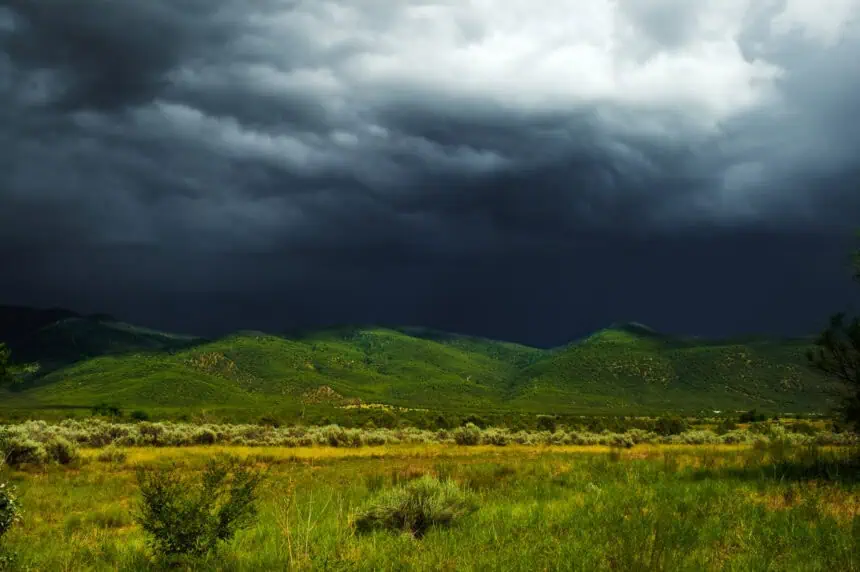
By the second half of the week, the monsoon is expected to bring moisture back into the region. Scattered storms are likely to form daily along the central mountain chain and into the eastern highlands, especially during the afternoon and evening hours. These storms will come with strong outflow winds, hail, and frequent lightning, raising the risk of localized flash flooding—particularly over burn scar areas left by recent wildfires.
Daytime highs will climb well into the upper 90s (35–37 °C) across much of the state, with some lower valleys pushing past 100 °F (38 °C). The risk for heat-related illnesses will rise, especially in urban areas like Albuquerque and Las Cruces, where overnight lows will offer little relief.
As the monsoonal pattern strengthens, rainfall rates could intensify, prompting flash flood watches across vulnerable areas later in the week. Keep a close eye on changing weather as July storms begin to return to New Mexico’s summer landscape.


