

Stormier conditions are making their way back into New Mexico this Sunday, following a dry and hot Fourth of July. A gradual rise in temperatures will continue throughout the upcoming week, pushing much of the state into even hotter conditions.
Saturday afternoon, strong to severe storms developed over the Sangre de Cristo Mountains, drifting east and southeast into the evening hours. While scattered showers also formed in Catron County, much of the precipitation evaporated before reaching the ground. Temperatures soared across New Mexico, surpassing those seen on Independence Day. Some isolated storms are still lingering in eastern New Mexico tonight, but they are expected to fade within a few hours. These systems are helping to increase moisture levels all the way into western parts of the state by Sunday morning.
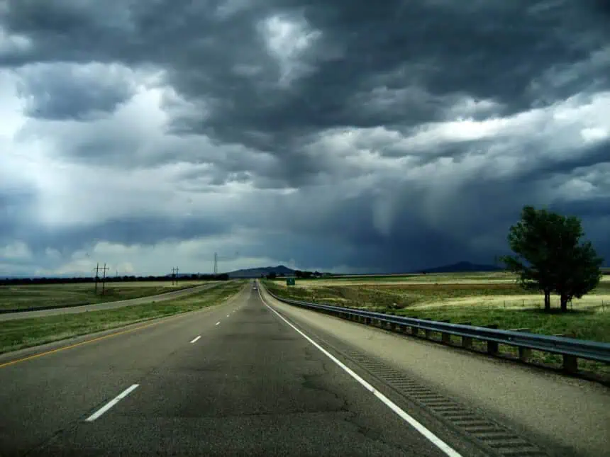
More thunderstorms expected across New Mexico Sunday
By Sunday afternoon, expect showers and thunderstorms to intensify again, especially over the mountain ranges. Storms will initiate over the higher elevations early in the afternoon and then gradually drift east and southeast. Heavy downpours are forecast around the Ruidoso burn scar areas, particularly by 12 PM, where the risk of flash flooding will be a significant concern. Additional storm activity is also forecast for the Gila region and other parts of western New Mexico. These storms are likely to dissipate by late Sunday night.
Despite the rain potential, temperatures will remain extremely high. However, locations directly affected by rain and thunderstorms may experience a brief but noticeable cool down during the afternoon hours.
Monday brings similar heat, but with drier air in the west
Looking ahead to Monday, the weather will mirror Sunday’s pattern, though drier air will begin to filter into central and western New Mexico. A developing high-pressure system will start to take hold across the region after Monday, gradually ushering in more stable and drier conditions. While isolated showers and thunderstorms will still be possible—especially over the mountain peaks and surrounding zones—the overall rain chances will become more limited.
Temperatures across New Mexico will continue their upward trend, with daily highs potentially climbing into the upper 90s to low 100s (36–39 °C) in several locations by the middle of the week.


