
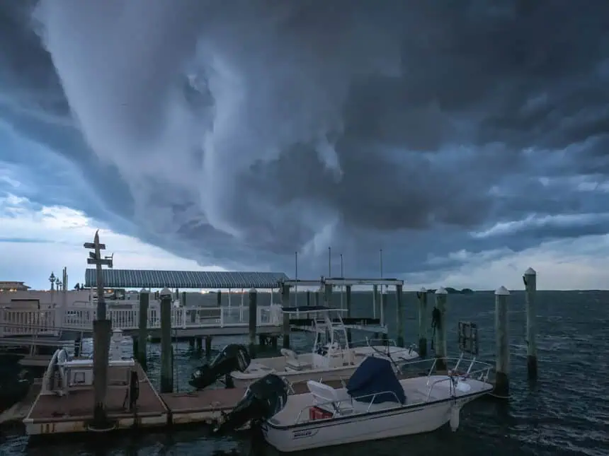

Torrential storms swept across northern New Jersey late Monday night into Tuesday morning, delivering relentless downpours that led to flash flooding, traffic chaos, and record-breaking rainfall totals in several towns.
The heaviest rainfall was reported in Watchung, where a staggering 6.5 inches (165 mm) of rain fell in just a few hours. The intense storm surge caused raging floodwaters to lift a vehicle onto a concrete divider, turning local roads into dangerous waterways. Residents described the scene as unpredictable and devastating, with emergency responders struggling to navigate the submerged streets.
Other parts of Middlesex, Union, and Somerset counties saw between 3 and 5 inches (76 to 127 mm) of rain, overwhelming storm drains and leading to road closures and delays on major arteries like Route 22, Interstate 78, and Garden State Parkway.
The National Weather Service had issued a flash flood warning well in advance, but the intensity of the rainfall exceeded expectations in some localized areas. In urban centers such as Plainfield, Newark, and Elizabeth, sudden street flooding created dangerous conditions for both drivers and pedestrians.
As of this morning, Tuesday, July 16, cleanup crews continue to assess damage across the region, especially in flood-prone zones like North Plainfield, Bound Brook, and South Orange, where rainfall totals exceeded 4.5 inches (114 mm).
This system, driven by a humid air mass colliding with cooler northern currents, will gradually shift eastward by tonight, but scattered thunderstorms remain possible across parts of eastern New Jersey through the evening hours.
Stay alert if you’re traveling through Essex, Hudson, or Passaic counties today, as residual flooding may continue to affect low-lying intersections, underpasses, and river-adjacent communities throughout the day.


