

Heavy tropical rain to soak Louisiana and Mississippi
A tropical rainstorm brewing in the Gulf of Mexico is forecast to drench large portions of the southern United States, with Louisiana and Mississippi directly in its path. As of Wednesday evening, the system has a 40% chance of becoming a tropical depression. If it reaches storm status, it will be named Dexter.
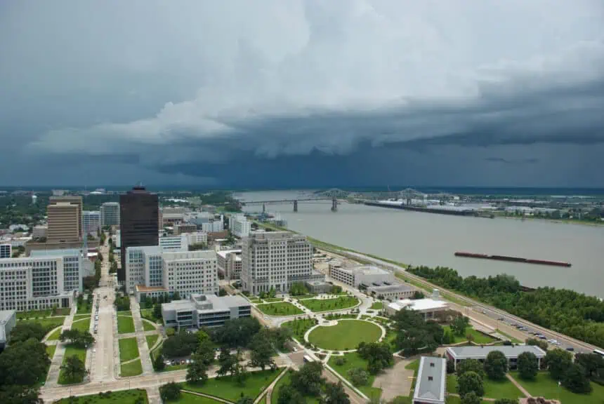
Regardless of classification, the storm is expected to unleash torrential rain across the Gulf Coast. A flood watch is now active in New Orleans, Baton Rouge, and Biloxi, extending through at least Friday and possibly into Saturday. Forecasts currently predict 3 to 6 inches of rainfall (76 to 152 mm), though local totals could surge to 10 to 15 inches (254 to 381 mm) due to slow-moving and repeated storm bands.
New Orleans officials, including Mayor LaToya Cantrell, held a press conference on Wednesday, confirming that 8,000 sandbags have already been distributed, with an additional 50,000 expected. Mayor Cantrell emphasized the city’s preparedness, stating emergency crews are ready and experienced, assuring the public that “we deliver and get the job done.” Out of precaution, all city buildings in New Orleans will remain closed on Thursday.
Northeast under renewed flood threat after Monday’s deluge
While the Gulf Coast braces for a tropical soaking, the Northeast is once again on high alert for flooding. Areas still recovering from Monday night’s flash floods are facing another round of intense rainfall.
Flood watches are currently in place across northwest and central New Jersey, Philadelphia, central and eastern Pennsylvania, Maryland, Washington, D.C., and northern Virginia. Incoming storms on Wednesday night could bring rainfall rates of 1 to 3 inches per hour (25 to 76 mm/h), with totals between 3 to 5 inches (76 to 127 mm) expected in some locations.
With the ground already saturated from earlier storms, the threat of flash flooding is significantly heightened. Emergency responders are monitoring waterways closely as rainfall overlaps with swollen rivers and creeks.
Severe weather threat expands into the Midwest
Further north and west, the Midwest is also grappling with volatile weather. A tornado watch has been issued across Wisconsin, affecting major cities like Green Bay, Madison, and Milwaukee. Storms sweeping through the region Wednesday evening are bringing the potential for damaging wind gusts up to 70 mph (113 km/h) and hail.
Additionally, a severe thunderstorm watch is active in parts of Indiana and Illinois, including Chicago. The Windy City is preparing for damaging winds as the main threat overnight.
As the systems continue to evolve, all affected regions are urged to remain alert for rapidly changing weather conditions.


