
 A rare summer system is shaking things up across California this Monday, July 21, pulling unseasonably cool air and gusty winds into the Golden State. Satellite imagery from Sunday evening shows a low-pressure zone sweeping into the Pacific Northwest, while the air mass over California remains dry—setting the stage for a breezy, unusually cool start to the week.
As this potent system pushes inland, winds will strengthen across Northern California, especially around the Bay Area, where gusts could hit 40 mph in the hills and gaps. While Portland, Oregon, is expecting light showers, and thunderstorms may rumble through the Washington Cascades, California will mostly remain dry, with only a slight chance of rain brushing the northernmost mountains.
Temperatures are taking a noticeable plunge. Valleys across the North Bay, East Bay and South Bay will top out in the 70s°F (21–26°C), and coastal areas near San Francisco Bay will struggle to escape the 60s°F (15–20°C). Sacramento may not even crack 80°F (27°C) on Tuesday, running nearly 15 degrees below normal for this time of year. This cooler pattern is forecast to linger through the week, with below-average temps possibly holding through the end of July.
Storm chances increase midweek for those heading into outdoor areas like the northern and central Sierra Nevada, southern Cascades, Klamath Mountains, and Trinity Alps, where thunderstorms could bring rainfall but also lightning, sparking wildfire concerns as the region’s vegetation hits peak midsummer dryness.
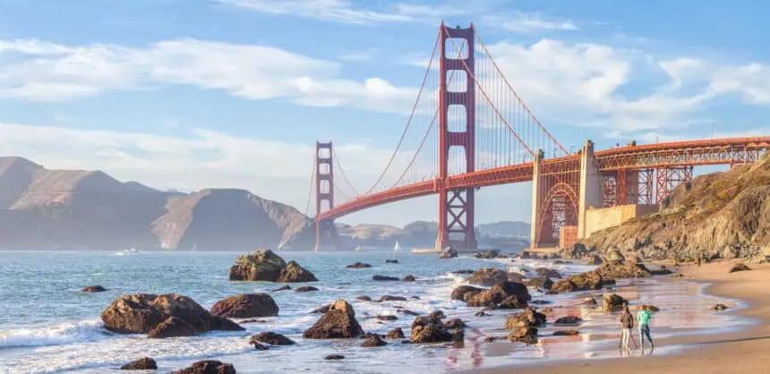
San Francisco will wake up to cloudy skies and possible drizzle, especially in Twin Peaks, Diamond Heights, Golden Gate Heights, and the Sunset and Richmond Districts. Afternoon clearing is likely near the bay, but temps will stay cool: upper 50s to low 60s°F (14–17°C) west of Twin Peaks, and mid-60s°F (18°C) in SoMa, the Mission, and downtown. Afternoon wind gusts could reach 25 mph, with overnight lows in the mid-50s°F (12–13°C).
In the North Bay, expect a cool July day, with highs mainly in the 70s°F (21–26°C)—5 to 10 degrees below normal. Petaluma may stall in the upper 60s°F (20°C), while Fairfield and Vacaville hit the upper 70s°F (25–26°C). Skies should gradually clear by midday, with afternoon wind gusts between 20 and 30 mph. Lows dip to the mid-50s°F (12–13°C) under increasing cloud cover.
Over in the East Bay, the weather will feel more like May than late July. Morning clouds will give way to afternoon sun. Highs will reach the 60s°F (15–20°C) in Oakland, Richmond, Alameda, Hayward, Fremont, and Lamorinda, while Concord, Dublin, San Ramon, and Livermore will see low to mid-70s°F (21–23°C). Gusts may hit 40 mph through mountain passes. Lows settle into the mid-50s°F (12–13°C) under a thickening sky.
The Pacific Coast and Peninsula will continue its “No Sky July” trend. Fog, drizzle, and strong sea breezes will limit temps to the upper 50s to low 60s°F (14–17°C), especially along the coast. Winds through the San Bruno Gap could gust to 25 mph. Inland, Redwood City may reach the low 70s°F (21–22°C), with South San Francisco, Hillsborough, and San Mateo staying cooler. Expect lows in the mid-50s°F (12–13°C), with thick cloud cover.
Across the South Bay and Santa Cruz region, temps will continue to run cool. Santa Clara County will see highs in the low to mid-70s°F (21–23°C), and the Santa Cruz Mountains might reach the upper 70s°F (25°C). Morning clouds will clear slowly, especially near Santa Cruz, where highs may stick to the upper 60s to low 70s°F (20–22°C). Afternoon winds may gust to 20 mph, and lows will dip into the mid- to upper 50s°F (13–14°C) under mostly cloudy skies.


