

Millions across the Eastern United States have been enduring a scorching, suffocating heat wave that’s shattered decades-old records and pushed the heat index well beyond 100°F (38°C). But after days of intense discomfort, cooler air is starting to make its way into the region — though not everyone is feeling the relief just yet.
A cold front moved through the Northeast on Wednesday night, briefly breaking the oppressive grip of the heat in cities like New York, Boston, and Philadelphia. However, Thursday still began with temperatures well above average, especially across the Southeast, where sweltering humidity continues to linger.
CBS News meteorologist Nikki Nolan noted that on Wednesday, temperatures were soaring 10 to 20 degrees above seasonal norms, with the “feels-like” temperature approaching 110°F (43°C) in several cities. This pattern has created dangerous conditions not only for vulnerable populations but also for infrastructure and emergency services.
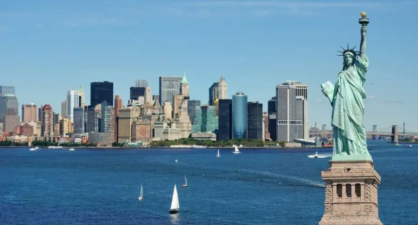
In Philadelphia, the mercury hit 100°F (38°C) on Tuesday, something that hadn’t happened since July 18, 2012. Boston reached a staggering 102°F (39°C) — the city’s hottest June day since 1872. New York City’s Central Park registered a heat index of 100°F (38°C) by early afternoon, and Baltimore also hit the triple digits. Even Fryeburg, Maine, typically cooler in June, joined the list of cities baking in extreme heat.
This latest event is now considered one of the most widespread heat alerts in U.S. history, stretching from the Midwest to the Northeast and impacting tens of millions. On Thursday, June 26, maps still showed heat alerts active across parts of the Midwest and Southeast, where the intense dome of high pressure — the so-called heat dome — remains stubbornly fixed.
The National Weather Service warned last week that although summer arrived late in the Northeast, it was “coming in HOT”, and it wasn’t exaggerating. This heat dome, a stagnant high-pressure system aloft, has been trapping hot, humid air and intensifying air pollution near the ground — a recipe for both heat illness and poor air quality.
With the body not yet acclimated to summer’s full force, early-season heat waves like this one are especially dangerous. Complicating matters, overnight lows have remained high, offering little relief. According to experts, when nighttime temperatures stay above 75°F (24°C), it can seriously affect health, especially for children, the elderly, and those with chronic conditions.
Forecast maps for Thursday, June 26, and Friday, June 27, show a shift in the heat’s trajectory. The Midwest and Ohio Valley bore the brunt midweek, but by Friday, cities like Boston are expected to see a dramatic cooldown — nearly 34°F (19°C) cooler than Tuesday’s peak. It will feel like a different season, according to Bob Oravec at the Weather Prediction Center.
Though a brief spell of hotter-than-usual temperatures is expected after the front passes, nothing close to the extremes seen earlier in the week is in the forecast. But rain and severe storms are likely across the Midwest, Eastern Seaboard, and Southeast, bringing new risks even as the temperatures drop.
Alongside the storms, total rainfall accumulations could be substantial through the weekend. Maps highlight elevated risk for severe weather, particularly Thursday, with localized flooding and wind damage possible in affected areas.
This prolonged heat surge, affecting much of the United States, fits into a broader pattern of climate-driven extremes. Days above 95°F (35°C) are projected to increase across most of the country in the coming years, turning what were once rare events into recurring threats.
In the meantime, heat alerts remain in place, and parts of the Southeast and Midwest are still sweltering in dangerous conditions.


