

HOUSTON – A break from the oppressive summer heat is on the way for Friday as humid tropical air pushes into Southeast Texas, raising the chance of scattered showers and cooler daytime highs.
After days of highs nearing 100°F (38°C), temperatures in the Houston metro are forecast to dip into the low 90s°F (32–34°C) by Friday and Saturday, offering some much-needed relief. While it won’t be chilly, it certainly won’t feel as blistering as earlier this week.
The arrival of tropical moisture means increased rain chances, especially along the Gulf Coast and eastern suburbs. Expect pockets of heavy rainfall to begin late Thursday night near the shoreline, slowly moving inland during the day on Friday.
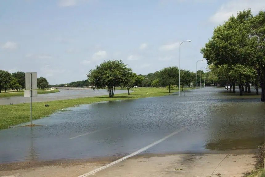
Umbrellas will be a must through Saturday, as waves of showers and thunderstorms continue to pass over the region. Downpours could intensify at times, especially in the southern half of the city, and isolated street flooding isn’t out of the question.
Some rain may linger into Sunday, although storm activity should start to taper off by late in the weekend.
Meanwhile, a low-pressure system currently drifting through the Gulf of Mexico carries only a 10% chance of becoming a tropical depression or storm by Friday, according to the National Hurricane Center. But even without full development, it’s expected to send repeated waves of moist air across the entire Gulf Coast, from Louisiana to Texas, through the next couple of days.
That system is forecast to weaken as it moves west and likely disintegrates by the end of the weekend. Still, the threat of soaking rain will stay in place through at least Sunday evening for the Houston area and surrounding counties.


