
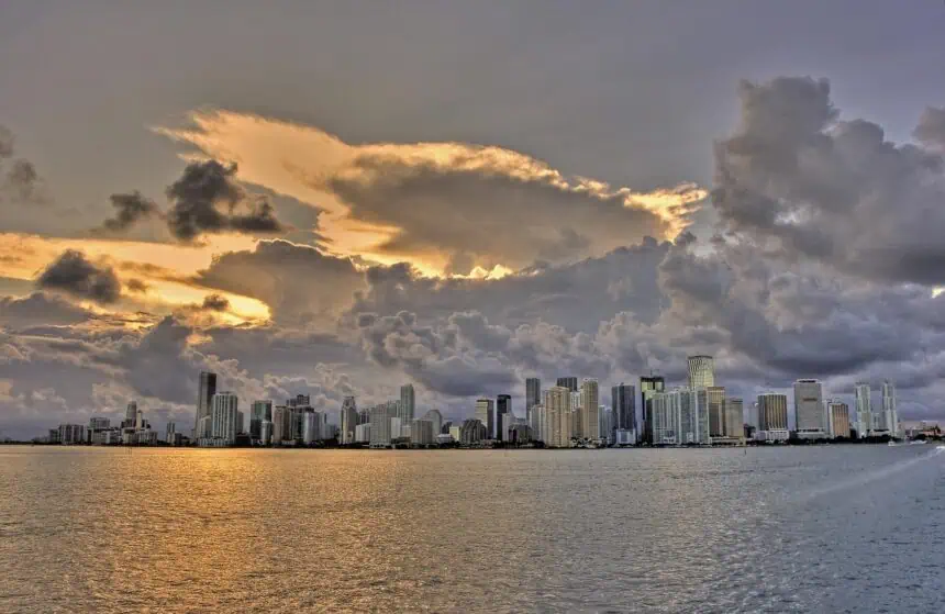

Saturday, May 25 – Miami, Florida – After a volatile Friday of severe weather, South Florida saw a brief return to calmer skies early Saturday morning. But according to Local 10 meteorologist Brandon Orr, that peace may not last, with a renewed threat of scattered storms looming for the afternoon and evening.
Morning calm before potential midday chaos
Sunny skies over Miami-Dade, Broward, and Monroe Counties drew crowds to coastal areas like Hollywood Beach early in the day. Orr described the conditions as “mostly dry between now and 1 o’clock,” with clear skies dominating the morning hours. But he warned that from 1 to 3 p.m., the first signs of instability would likely appear, with storms developing inland, particularly in western areas.
Storm window: 3 to 8 p.m.
The greatest likelihood of thunderstorms is expected between 3 and 8 p.m., although not on the same scale as Friday’s outbreak. The Storm Prediction Center has placed much of Central and South Florida under a marginal risk for severe weather — the lowest tier, but still capable of producing isolated severe events.
Possible impacts include damaging wind gusts, hail, frequent lightning, and localized flooding. Some areas may avoid rainfall altogether, but the potential for pop-up showers means outdoor plans could be affected with little notice.
Atmospheric setup: high humidity and instability
The atmospheric conditions remain favorable for thunderstorm development, fueled by high humidity flowing in from the Bahamas, elevated wind shear, and heat-driven instability. According to Orr, these ingredients are “checking off the list” for storm formation, even if the threat isn’t as intense as the day before.
Temperatures and beach conditions
Highs on Saturday are forecast to reach around 90°F (32°C), with humidity levels making it feel even warmer. Beach conditions remain relatively calm, with surf below one foot and green flags flying. However, there’s a moderate risk of rip currents, especially for less experienced swimmers.
Memorial Day weekend: unsettled afternoons ahead
As the Memorial Day weekend continues, spotty afternoon storms are expected to repeat on both Sunday and Monday, keeping the pattern of intermittent rainfall and brief thunderstorms alive.
Visitors heading to Sunrise for Game 3 of the Stanley Cup Final, where the Florida Panthers will face the Carolina Hurricanes at Amerant Bank Arena, should be prepared for passing showers, especially during late afternoon hours.
“No day is a washout,” stressed Orr, but each afternoon brings the chance of scattered storms, with highs holding steady in the upper 80s to around 90°F (31-32°C).


