

Extreme heat grips Central Florida this weekend
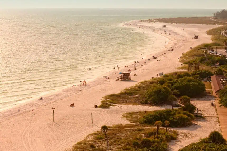
ORLANDO, Florida – This weekend, Central Florida is under the grip of oppressive heat as afternoon highs climb into the lower 90s°F (around 33–34°C). However, the real concern is the heat index, which reflects how the temperature actually feels on the body due to humidity. Across most of the Orlando metro area, the heat index is expected to exceed 100°F (38°C), with certain spots peaking at 103°F (39.4°C).
This spike in apparent temperature is driven by high humidity levels combined with stagnant air, creating uncomfortable and potentially dangerous outdoor conditions, especially for sensitive groups.
Saharan dust reduces rain and worsens air quality
In addition to the heat, Central Florida skies are appearing hazier than usual due to a plume of Saharan dust drifting across the Atlantic and into the Sunshine State. This dry, dusty air mass suppresses storm development by introducing stable, warm layers into the atmosphere. As a result, rain chances for Friday have dropped significantly, sitting around 20% despite the usual summer setup.
While a few scattered showers or pop-up storms may emerge during the afternoon and evening hours, most locations will stay dry due to the influence of the dust.
The presence of Saharan dust is also compromising air quality. As of now, Orlando’s air quality index stands at a “moderate” level, which remains acceptable for the general population. However, individuals with asthma, COPD, or other respiratory issues are advised to limit prolonged or intense outdoor exposure.
Theme parks and outdoor activities: Heat and haze considerations
Planning a visit to Walt Disney World, Universal Studios, or other outdoor attractions this weekend? Visitors should be prepared for intense heat and sun exposure, alongside reduced visibility due to the dusty haze. Though afternoon showers remain a possibility, the Saharan layer continues to suppress widespread thunderstorm formation for now.
Looking ahead: Tropics quiet but heat remains
The National Hurricane Center is not monitoring any systems for development in the Atlantic Basin at this time. This means no tropical disturbances are expected in the next few days, giving Florida a temporary break from cyclone threats.
The seven-day outlook for Orlando maintains the hot trend, with daytime highs in the mid-90s°F (34–35°C) and overnight lows in the mid-70s°F (24°C). Rain chances begin to rise by the end of the weekend, with a 30% chance of storms Saturday and Sunday, gradually increasing to 50–60% as the new workweek begins.
Hazy sunsets and colorful skies
While the Saharan dust limits rainfall and worsens air quality, it does enhance sunsets and sunrises, often creating vivid orange and pink hues. If you’re out during these times, look toward the horizon for unusually striking cloudscapes—just be cautious about the air quality levels, especially if you’re prone to respiratory discomfort.


