
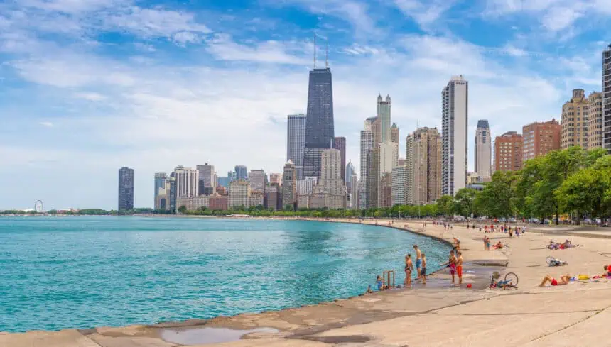

Chicago, Illinois — This week will bring intensifying summer heat and a strong risk of severe weather, particularly on Tuesday and Wednesday, across the Chicago metropolitan area and surrounding regions.
Severe thunderstorms likely Tuesday night and Wednesday
According to the National Weather Service, a heightened risk for thunderstorms is expected beginning Tuesday afternoon, escalating in the overnight hours and continuing into Wednesday. These storms may turn severe, with the primary threats being damaging wind gusts and large hail.
While Monday remains mostly quiet, forecasters indicate higher confidence in storm development late Tuesday, compared to Wednesday, when conditions remain volatile but more uncertain in terms of intensity and coverage.
Dangerous heat index values early in the week
On Tuesday, temperatures will peak near 90°F (32°C), but humidity levels will drive the heat index up to around 95°F (35°C), creating oppressive heat conditions. Southwest winds of up to 15 mph will provide little relief.
Overnight temperatures through midweek will stay elevated, lingering in the upper 60s°F (around 20°C). The prolonged warmth may contribute to unstable air masses, favoring thunderstorm development.
Daily forecast breakdown for the Chicago area
Monday, June 16
Mostly sunny, with a high near 86°F (30°C). South southeast winds at 5 mph, gusting up to 15 mph.
Evening: Partly cloudy, with a low near 68°F (20°C) and light southerly breezes.
Tuesday, June 17
Mostly sunny and hot, reaching 90°F (32°C) with a heat index up to 95°F (35°C). Only a 20% chance of isolated afternoon showers or thunderstorms.
Evening into night: A significant increase in thunderstorm activity is expected, with a 70% chance of storms, particularly after 1 a.m.. Low near 68°F (20°C).
Wednesday, June 18
Thunderstorms likely, especially during the daytime, with another 70% chance of precipitation. High around 83°F (28°C). Winds from the south southwest at 5–15 mph, gusting up to 25 mph.
Nighttime: 40% chance of storms continuing before 1 a.m., with lows dipping to 63°F (17°C).
Thursday, June 19
Clearer skies return, with sunshine dominating and a pleasant high near 83°F (28°C).
Night: Mostly clear, with lows around 63°F (17°C).
Friday, June 20
Mostly sunny and slightly warmer again, with a high near 84°F (29°C).
Evening: Partly cloudy, and mild overnight temperatures near 70°F (21°C).
Looking ahead
While the weekend will bring more heat, storm chances will diminish temporarily, giving Illinois residents a brief break from the severe weather threat. However, continued monitoring of forecast updates is essential as new systems may develop.


