

Low pressure system may form near Florida or Gulf by weekend
MIAMI – A tropical disturbance could be taking shape just off the Southeast U.S. coast, potentially interfering with Fourth of July holiday plans across Florida and nearby states. As of this Monday morning, the National Hurricane Center (NHC) is monitoring an area of concern where tropical or subtropical development could begin in the coming days.
A frontal boundary is forecast to stall and gradually weaken along the Southeast coastline by late this week. Following this weakening phase, a low-pressure system may develop by the upcoming weekend, forming either near the southeastern U.S. coast, over the Florida Peninsula, or within the eastern Gulf of Mexico.
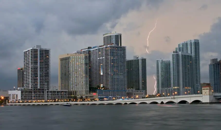
Even without full tropical formation, heavy rainfall and intense thunderstorms are expected to soak much of Florida, particularly around Miami, Tampa, and the Florida Panhandle, as early as Thursday, and continuing into Friday and Saturday, coinciding with Independence Day celebrations.
The NHC currently assigns a low probability for full tropical development within the next seven days, but meteorologists caution that gradual organization could still occur. The potential system is expected to drift slowly along the U.S. coastline, which may increase rainfall totals over time and cause localized flooding, especially in low-lying urban areas.
The timing of this weather pattern comes as travel surges nationwide, with a record-breaking 72.2 million Americans anticipated to hit the roads and skies. The AAA attributes this spike in part to the Fourth of July falling on a Friday, offering a natural three-day weekend for millions.
For those planning routes along the I-95 corridor, through Orlando, Jacksonville, or along the Gulf Coast highways, expect unsettled conditions with warm, humid air and daytime highs hovering around 88–92°F (31–33°C), paired with feels-like temperatures exceeding 100°F (38°C) under high humidity.
Stay tuned for updates, as even a weak tropical disturbance can carry significant rainbands, gusty winds, and delays at key airports in Miami, Fort Lauderdale, and Tampa heading into the peak travel window.


