
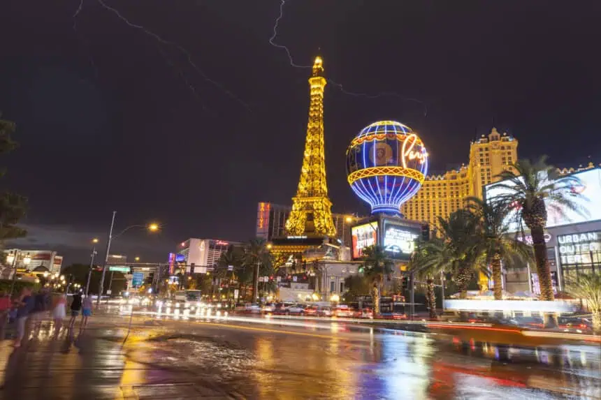

Las Vegas, Nevada — As of Tuesday, July 2, monsoon moisture remains firmly on track to enter the Las Vegas Valley beginning today and continuing through Thursday, bringing with it an increasing risk of thunderstorms, especially in areas surrounding the city.
The most intense activity is expected to develop over northwestern Arizona, where stronger storm cells could trigger outflow winds between 30 and 40 mph. These gusty winds are likely to reach parts of southern Nevada, including the edges of the valley.
The highest likelihood for storms in Las Vegas will arrive Wednesday afternoon, continuing into the early hours of Thursday. During this window, localized downpours, gusty breezes, and brief lightning events can’t be ruled out, though the core of the storm energy is projected to stay mostly east and southeast of the metro.
As for Independence Day on Thursday, July 4, conditions are trending drier across the Las Vegas Valley, though winds will still be a factor. Expect gusts between 20 and 30 mph, which could impact outdoor festivities or firework visibility, particularly during the evening hours.
Looking beyond the holiday, early indicators suggest another round of moisture may move through southern Nevada early next week, potentially bringing back the risk of isolated showers and thunderstorms.


