
 KANSAS CITY, Missouri – A few spotty thunderstorms will continue to pass through the KCTV viewing area until about 2:00 AM early Saturday, July 6. These will be isolated storms, with the potential for brief downpours and occasional rumbles of thunder, but nothing widespread. The overall risk for severe weather remains low, although gusty winds could become a concern if any storm strengthens.
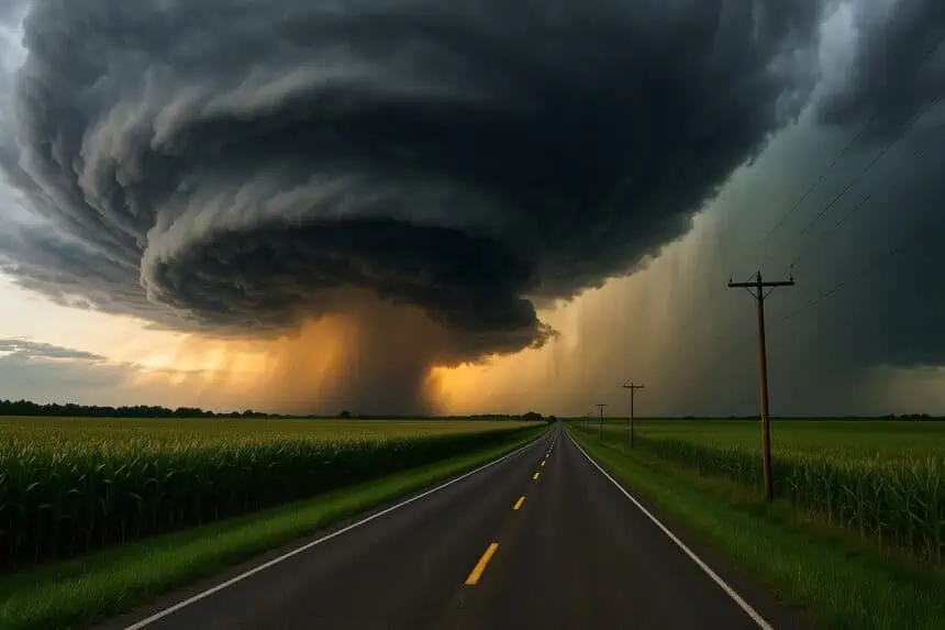
Saturday evening: First Warn active with close monitoring
Saturday evening will be closely monitored with a First Warn alert in place to track any sudden developments in storm activity. Most of the overnight hours are expected to remain dry, though warm and muggy conditions will persist. Sunday morning will begin with temperatures in the low 70s°F (21°C), climbing into the mid to upper 80s°F (30°C – 32°C) by the afternoon.
A weak boundary stalled to the south will help trigger a few scattered showers and thunderstorms later in the day. The best chance for this activity lies across Anderson, Linn, Bates, and Henry counties, where there’s a 30% chance of seeing some afternoon storms. Areas to the north should stay mostly dry.
Sunday: hot, humid conditions with rising heat index
Sunday’s weather will feel oppressive, as high humidity drives heat index values into the lower to mid 90s°F (32°C – 35°C). The combination of hot air and unstable atmosphere could lead to some pop-up thunderstorms, though any activity will likely remain isolated.
Next week: persistent humidity and daily storm chances
Looking ahead, the weather pattern will stay consistent through the week, with highs in the mid to upper 80s°F (30°C – 32°C) and humid air in place. This type of air mass supports daily off-and-on thunderstorm chances, though none appear widespread at this point. Tuesday, July 8, currently looks like the most active day, with a 40% chance of scattered rain and storms. Another First Warn is already in place for that day.
Friday night: signs of a cooling trend
Forecast models are also hinting at a cold front pushing through Friday night into Saturday morning, which could bring a slight drop in temperatures heading into the weekend.


