

Saturday, July 13, 2025 — New York time
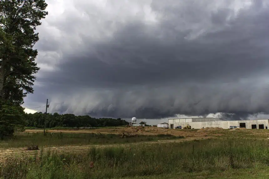
Rain and thunderstorms are expected across Alabama throughout the day, but the greatest concern for severe weather will be in the northern and north-central parts of the state. The Storm Prediction Center has issued a Level 1 out of 5 risk—the lowest on the scale—for areas including Huntsville, Florence, and Birmingham.
While a Level 1 designation signals only a marginal threat, forecasters say that a few storms could briefly turn severe, especially during the afternoon and evening hours. The main hazards will be damaging wind gusts, strong enough in isolated cases to bring down trees or knock out power lines.
The best chance for stronger storms will come between noon and 10 p.m., when the atmosphere becomes more unstable and supportive of isolated severe activity. Even though this isn’t expected to be a widespread outbreak, those in northern parts of the state should stay weather-aware.
Beyond Saturday, the pattern begins to shift. A ridge of high pressure will start to build over the region, bringing hotter, more humid conditions through the weekend and into next week. Daytime highs will likely climb into the mid to upper 90s°F (35–37°C), though at this point, the combination of heat and humidity isn’t high enough to trigger heat advisories.
That could change, and forecasters will be monitoring closely in the days ahead. Meanwhile, daily chances for pop-up showers and thunderstorms will remain, especially during the afternoon and evening hours.


