
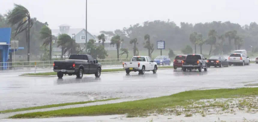

A broad area of low pressure may be forming just off the southeastern U.S. coast, raising early concerns among forecasters at the National Hurricane Center. While it’s far from certain that the system will strengthen, meteorologists are keeping a close eye on its progress as it slowly drifts westward, potentially spreading heavy rainfall across Florida and into parts of the Gulf Coast over the coming days.
Low odds for development, but plenty of rain in the forecast
According to the hurricane center’s July 12 afternoon advisory, conditions in the area could become only “marginally conducive” for tropical development within the next five to seven days. As of now, the chances that this disturbance turns into an organized system remain low — around 20%. Still, even without full development, the system is expected to bring substantial moisture across the Florida Peninsula, especially from midweek onward.
The area being monitored stretches broadly from the Atlantic waters near the Southeast coast across the Florida peninsula and toward the eastern Gulf of Mexico, suggesting a wide swath of the region could see impacts in the form of persistent rainfall.
Dexter would be next on the storm name list
If the system does manage to reach tropical storm strength, the next name on this year’s Atlantic hurricane season list is Dexter. Forecast models have been offering different scenarios for where development could take place, with some suggesting it may happen on the Atlantic side of Florida, allowing the system to drift northward, while others lean toward Gulf-side formation, which would push it west along the northern Gulf Coast, potentially affecting areas of Louisiana, Mississippi, and Alabama.
Early storm activity is ahead of schedule
The potential for yet another disturbance so early in the season is notable. Tropical Storm Chantal, which formed on July 4, arrived nearly a month ahead of the average date for the third named storm in the Atlantic, typically August 3, according to Phil Klotzbach, a research scientist at Colorado State University. So far, the season has been quieter than expected, thanks to wind shear over the Caribbean and dry, dusty air from the Sahara filtering across the Atlantic Basin. But meteorologists are quick to point out that conditions can change rapidly.
Chantal’s deadly impact still fresh
As this new system stirs offshore, many in the Southeast are still grappling with the aftermath of Chantal, which unleashed torrential rain and spawned tornadoes across parts of North Carolina. The Haw River crested at 32.5 feet (9.9 meters) — just 0.3 feet (9 cm) shy of its record level set by Hurricane Fran in 1996. In Chatham County, rainfall totals topped 11.92 inches (303 mm) in Moncure, with several other locations reporting upwards of 10 inches (254 mm).
Chantal’s severe weather included four EF-1 tornadoes, touching down in Mebane, Snow Camp, southern Pittsboro, and near the Raleigh Executive Jetport, adding to the storm’s destructive footprint.
For now, all eyes turn back to the tropics, where this newly developing disturbance will be monitored closely in the days ahead. Whether it becomes Dexter or simply brings more soaking rains, its path across Florida and into the Gulf will be critical for forecasters and residents alike.


