

Thunderstorms developing from Oregon toward Idaho starting Tuesday evening
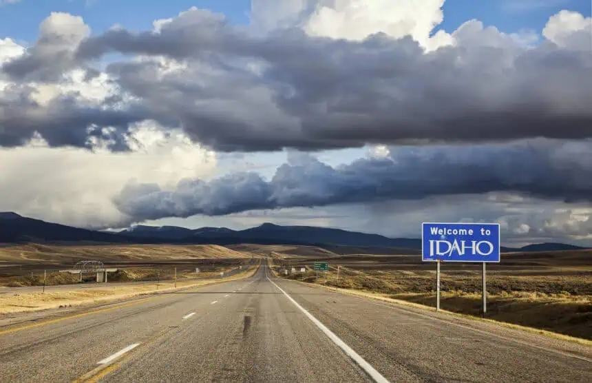
Boise, the capital of Idaho, is on alert this week as two waves of stormy weather are expected to impact the area between Tuesday, June 10 and Wednesday, June 11. According to Les Colin, a meteorologist at the National Weather Service in Boise, a trough—an elongated area of low atmospheric pressure—is pushing inland from the Pacific Ocean, triggering storm activity across southeast Oregon and extending into southwest Idaho.
The first wave is expected to arrive after 5 p.m. on Tuesday, with a 20% to 30% chance of thunderstorms affecting Boise. These will likely be dry storms, with gusty winds up to 60 mph (about 97 km/h) and blowing dust, but little or no rain, Colin said.
More impactful weather is expected on Wednesday afternoon, when the chance of stronger storms rises to nearly 60%, with rainfall, hail, and stronger winds on the table.
Hail, gusty winds and scattered rainfall possible Wednesday
The Wednesday system could bring moderate rainfall, hail, and wind gusts, starting after 2 p.m. and persisting through sunset. If the storm’s core tracks directly over Boise, up to 0.5 inches of rain (about 12.7 mm) could fall, though 0.1 to 0.2 inches (around 2.5 to 5 mm) is more likely in most areas.
There’s also a chance for hail formation, depending on storm intensity and temperature aloft. Winds will remain a concern, especially in open or elevated terrain.
The National Weather Service is considering issuing a flash flood watch for Wednesday. The primary concern is for regions impacted by recent wildfires, where burn scars have altered the soil’s ability to absorb water.
Burn scar areas near Grandjean and Stanley at risk
Spencer Tangen, another meteorologist with the National Weather Service, highlighted Grandjean and Stanley as areas at elevated risk for debris flows and flash flooding. The Wapiti Fire left behind burn scars in those areas, where intense heat has rendered the soil hydrophobic—meaning it can no longer absorb water.
“Basically, water just kind of runs off the soil and will wash out a thin layer of dirt that’s developed on top of that burned hydrophobic layer,” Tangen explained. That creates ideal conditions for sudden debris flows, even with moderate rainfall.
After Wednesday, dry skies and summer heat return to Treasure Valley
Once the storms pass, dry and hot weather is forecast to dominate the Treasure Valley through the end of the week. High temperatures will rise to around 90°F (32°C), which is 5 to 10 degrees above average for mid-June.
“The rest of the week, it should be dry and pretty hot, actually,” Colin noted, suggesting a summer-like pattern more typical of early July. No additional storm systems are currently in sight for the Boise metro area through the upcoming weekend.


