

A glowing midsummer moon will rise over Minnesota Thursday night, just as smoke from distant wildfires threatens air quality in parts of the state heading into Friday. After a brief chance for storms, a sunny and comfortable weekend is on the horizon.
Buck Moon lights up the sky Thursday night
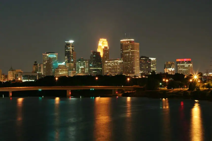
The Full Buck Moon—also called the Raspberry Moon in some Native American traditions—will rise in the eastern sky around 9:31 p.m. over the Twin Cities and continue to shine into the early hours of Friday morning. The moon officially reached its fullest phase at 3:36 p.m. CDT, but the best viewing will come after sunset, with clear skies across much of the state offering a perfect backdrop.
Indigenous names for full moons often reflect seasonal cues. In July, bucks begin growing new antlers, and berries ripen across the northern forests. With over 500 federally recognized tribes in the U.S., moon names vary widely but consistently tie celestial phases to nature’s rhythm.
Smoke from Canadian wildfires triggers air quality alert
Friday brings a fresh challenge, as smoke from Canadian wildfires drifts into northwestern Minnesota, carried by winds behind a cold front. The Minnesota Pollution Control Agency has issued an air quality alert for parts of northwest and north-central Minnesota, including Bemidji, Brainerd, Moorhead, East Grand Forks, Roseau, and International Falls, as well as the Tribal Nations of Red Lake, White Earth, Leech Lake, and Mille Lacs.
The first band of smoke is expected to reach northwest Minnesota early Friday, spreading east through the day. A second wave may move in Friday night, potentially affecting the northern half of the state into Saturday.
Air quality is forecast to reach the purple AQI category—very unhealthy—in portions of the northwest. Other areas may fall into the red category, meaning conditions will be unhealthy for all groups. The smoke is expected to gradually clear out Sunday afternoon as cleaner air moves in from the west.
Storm potential Friday with a passing cold front
Along with the smoke, a weak cold front will bring a chance for scattered thunderstorms Friday afternoon and evening. These storms aren’t expected to be widespread or severe, but isolated pockets of heavy rain and brief gusty winds are possible, mainly in central and eastern Minnesota.
Weekend outlook: sunny, dry, and mild
Looking ahead, Saturday and Sunday are shaping up to deliver ideal summer weather. After a smoky start to the weekend, skies will clear, humidity levels will stay low, and temperatures will be pleasant.
Expect highs in the upper 70s (mid-20s °C) on Saturday, warming into the low to mid-80s (around 28–30 °C) by Sunday afternoon, especially in the southern half of the state. From Minneapolis to Duluth and across the Brainerd Lakes, it could be one of the most enjoyable weekends of the summer—if smoke levels cooperate.


